Canadian wildfire smoke is returning to the United States this week, triggering air quality alerts around the country. But when I open up my weather app and check the weather conditions in some of the cities that the smoke will hit — New York, Pittsburgh, Chicago, Nashville — the word “smoke” doesn’t appear anywhere. Even the air quality alerts don’t mention it.
Smoke exists in a weird place, weather-wise. Our vocabulary for it is entirely divorced from the usual ways we talk about the outside world; our partly cloudies and rains and snows exist alongside temperatures and wind speeds and dew points that, put together, arm us with a crisp picture of the weather before we ever step outside. Describing smoke, on the other hand, sort of depends upon whom you ask.
The National Weather Service recognizes smoke as a type of weather event, but the agency rarely talks about it that way. The NWS’s observations of those smoky June days in Chicago only mention “haze,” a catch-all term that is generally used in the context of transportation (if it’s hazy, visibility is low). Apple Weather and Accuweather don’t have icons for smoke, but Weather Underground does. For the most part, smoke makes itself known through exactly one metric: the Air Quality Index, which was first created to measure something else entirely and is so separated from the weather that it doesn’t even appear on the NWS’s forecasts.
Experts told me this is by design. Air quality and weather exist on separate, if parallel, tracks: Weather data from the NWS turns into the forecasts we see from TV meteorologists and in the weather apps on our phones. The air quality forecasts turn into the number we see in the EPA’s AirNow app.
“Air quality forecasting is a little bit different from weather forecasting,” said Amy Huff, an atmospheric chemist at the National Oceanic and Atmospheric Administration who used to be an air quality forecaster herself. While the NWS issues weather forecasts, Huff told me that air quality forecasts aren’t conducted at the national level, but by state, local, and tribal environmental agencies. Each of those agencies has different pollutants they’re looking out for, and different thresholds at which they’ll send out air quality alerts. “The process is going to vary, because not everyone is requesting the same thing.”
For the most part, this has worked fine. Local sources of pollution historically have the most impact on air quality, and local environmental agencies know which pollutants are the most relevant to their area. California’s environmental protection agency, for example, forecasts for a wide range of pollutants due to a history of serious air quality issues. Maryland, on the other hand, just forecasts for ozone and PM 2.5 particles (which are present in wildfire smoke).
Get one great climate story in your inbox every day:
Where air quality and weather overlap is through the alerts system. If the local agencies think pollution is going to be bad enough to cause harm, they tell the NWS, which will send out the alert through its system — which is how we see those alerts in our phone’s weather apps.
“The people who pay attention to the air quality on a day-to-day basis historically are the sensitive groups. So if you're a parent of an asthmatic child or you're a senior citizen, you have COPD, you are much more susceptible to the impacts of air quality,” Huff said. “But for the general public, air quality is not really something that historically people are aware of, until there's an event like this.”
For a long time, this made a lot of sense. When air quality monitoring and standards were first set up across the country, regulators were reacting to industrial air pollution that has since reduced dramatically. The fact that air quality is usually good enough in most parts of America to go unremarked-on (outside of wildfire-prone states in the west, at least) means that the regulations worked. This is also why people who live on the West Coast are more familiar with the risks of wildfire smoke: It’s a common enough regional phenomenon that locals know how to talk about and deal with it.
What we’re seeing with the Canadian wildfires is more complicated. Measuring and forecasting pollution from localized sources, including wildfires, is relatively easy. But the Canadian wildfire smoke is getting caught up in the same low pressure systems that usually bring rain around to the Midwest and East Coast — in essence creating a smoke storm. Understanding what’s happening inside those storms is difficult.
“Satellites can detect fires, or we get human reports, so we know where they are location-wise and how much smoke is coming out,” said Shobha Kondragunta, who leads the Aerosols and Atmospheric Composition team at NOAA. “But these fires are injecting smoke into the atmosphere, and these satellites don’t provide the vertical structure of the smoke plume.”
In other words: Smoke is easy to see from above, but it’s hard to tell just how high or low in the air the smoke is sitting. Forecasters can use models to try and predict the smoke’s verticality, but they’re not always accurate, in part because fires themselves are so unpredictable.
“You already have the complexity of predicting the weather, but then you have to add on top of that the difficulty of predicting how a fire is going to behave,” Huff told me. “There’s a lot of things that depends on, like the type of fuel that's burning and what the atmosphere is like around the fire. So it gets complicated quickly trying to predict all these things.”
What they can tell with a fairly good amount of certainty is where that smoke will go as it drifts into weather systems that usually pick up more benign passengers, like the water that eventually turns into rainstorms. So we know when smoke is coming, but we don’t know whether it will be low enough to trigger an air quality alert. It’s like seeing the approach of storm clouds without knowing how much rain will fall.
But conditions can change quickly, and the air quality forecasting system isn’t set up to respond as quickly as weather forecasts are. Many environmental agencies don’t have full-time air quality forecasters, so forecasts can sometimes be delayed simply because there’s nobody around to issue a forecast. Air quality alerts can also trigger automatic operational changes like changes to public transit service and optional telework, and those changes take time to implement. To give agencies and companies time to respond, Kondragunta and Huff told me, some regions mandate that air quality forecasts can’t be updated for 24 or even 48 hours after they’re issued.
When smoke does turn hazardous, it’s usually up to the media to communicate the problem — a system that Huff thinks worked quite well during the June smoke events. “It seemed like people were getting the message and were changing their behavior to protect themselves,” she said. And as more Canadian wildfire smoke has made its way to the United States this summer, local environmental agencies seem to be issuing alerts earlier, as we’ve seen this week.
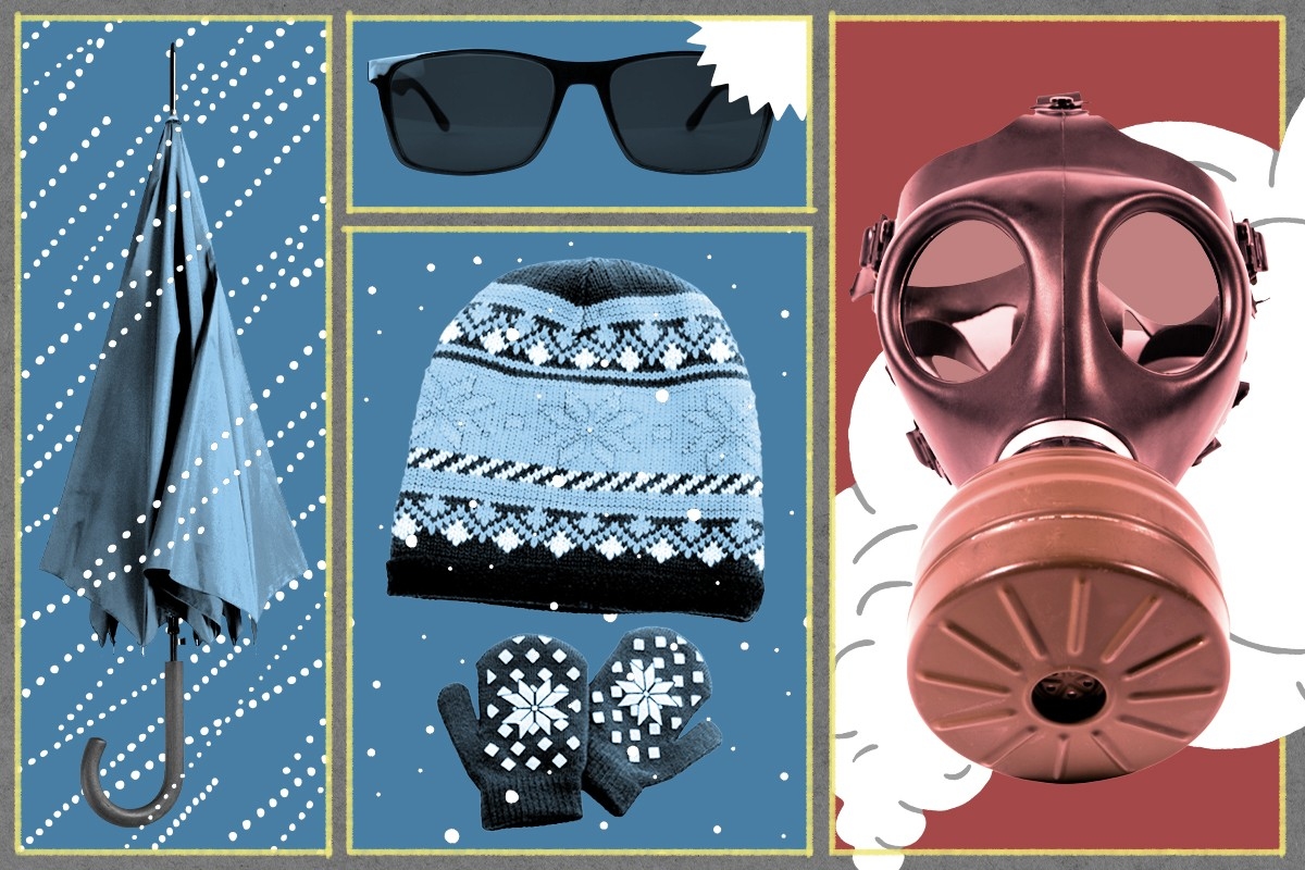
I can’t help wondering, though, if it’s time to make room for a bit of uncertainty in how we talk about smoke, and to let the word replace “haze” when we know it’s coming — even if we don’t quite know how it will affect air quality. Environmental agencies would still be able to take their time forecasting air quality, but at least people would know that smoke was coming even if an alert is delayed. That would allow them to take precautions like packing a mask just in case the air quality does turn bad, just as they might take an umbrella with them if the forecast called for rain.
As my colleague Robinson Meyer has written, the Canadian wildfire smoke could keep coming until October. And while the American wildfire season has been relatively quiet so far, a rash of Southwest heat waves means it could soon pick up. The future is hazy; our weather forecasts don’t have to be.
Read more about the wildfire smoke:
How to Stay Safe from Wildfire Smoke Indoors