The Mississippi river, for all intents and purposes, is a delivery mechanism for two things: Water and ships. These two things are currently in conflict.
A couple of weeks ago, I wrote about a wedge of saltwater making its way up the river from the Gulf of Mexico. This is partly caused by a drought that’s sapped the river, dropping it to near-record lows. But, as Tristan Baurick reports for The Times-Picayune, a long history of dredging the river to make space for bigger and bigger ships has made it especially vulnerable to the encroaching saltwater — and that the Army Corps of Engineers knew about the issue for decades.
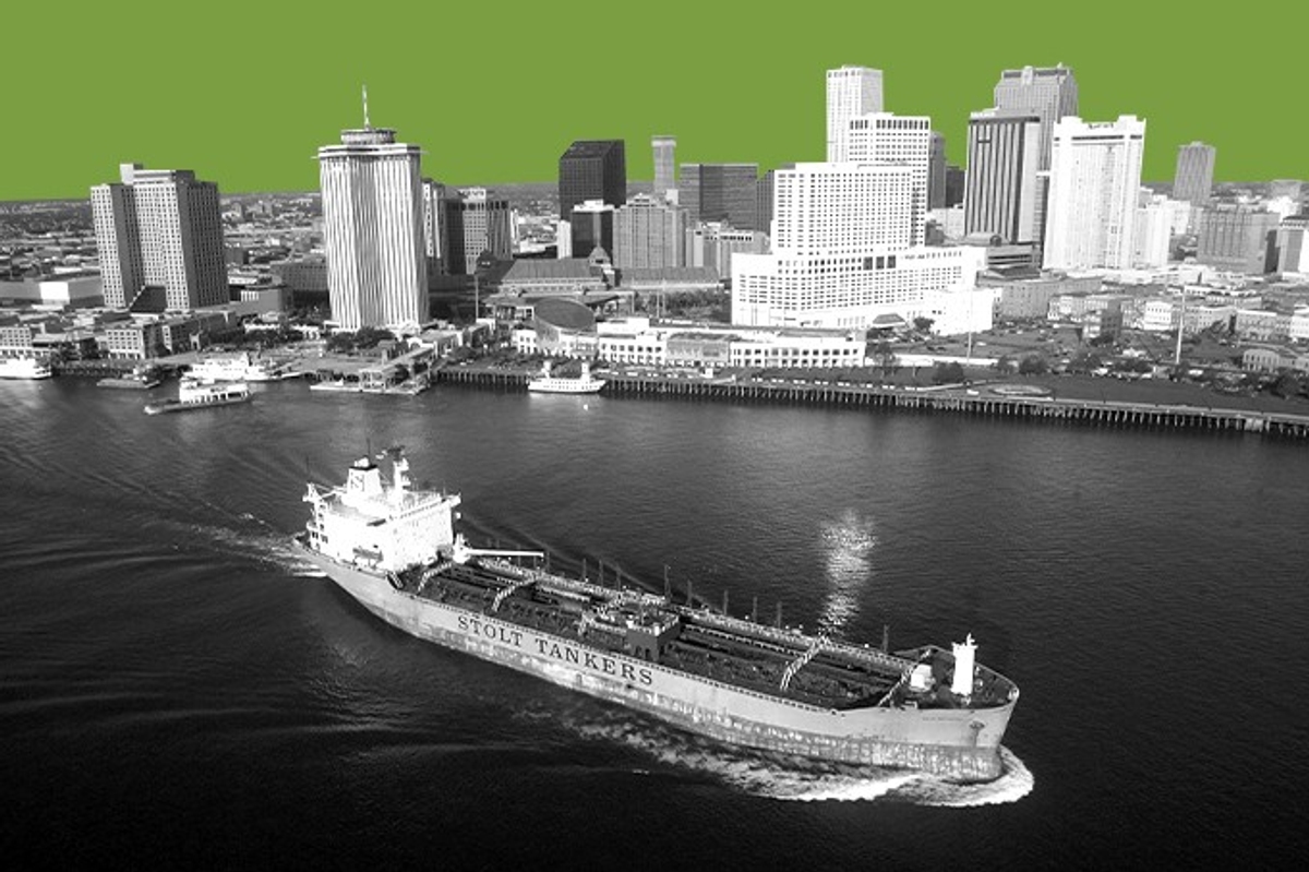
Here’s the thing about big ships: They run deep. And as container ships have grown bigger and bigger, waterways around the world have been dredged deeper and deeper to make room for them — when that ship got stuck in the Suez Canal a couple of years ago, its depth made it especially difficult to unstick and dredgers had to be called in. Baurick reports that back in the 1980s, when the Army Corps proposed deepening the Mississippi from 40 feet to 45 feet, state government agencies and environmental groups alike protested. In a letter to the Corps in 1981, the Environmental Defense Fund wrote that dredging the river “would result in movement of the saltwater wedge to a point where New Orleans and other communities would have to find alternative sources of water.”
The Corps moved ahead anyway. In 1990, a Corps engineer warned in a report that any further dredging would lead to longer and more frequent saltwater intrusions. Still, last year, thanks in part to lobbying from the shipping industry, the river was dredged to a depth of 55 feet.
What we’re seeing now is those warnings coming to fruition. Plaquemines Parish, south of New Orleans, has been dealing with saltwater contamination since July, and New Orleans and nearby Jefferson Parish are spending more than $300 million on an emergency pipeline to bring in water from upriver. The Army Corps, meanwhile, is trying to raise an underwater sill — basically a dam — to keep the saltwater wedge back.
But the dueling needs of shipping and water supply are even getting in the way there: To keep ships moving, the Corps is building a notch into the sill that will allow one-way traffic on the river. That notch will also allow saltwater to move upriver. To stop the saltwater wedge entirely, they’d have to essentially close off the river to shipping traffic — an idea that’s pretty much a nonstarter on a river that carries hundreds of millions of tons of cargo every year.
Still, there’s some good news: as of yesterday, the wedge had retreated about five miles, and rain predictions for the next couple of months have increased. When the last saltwater wedge threatened the area, in 1988, a sudden burst of rain prevented an all-out disaster. Maybe, just maybe, it’ll do so again.