When the ocean absorbs carbon, the CO2 in the air reacts with the water to form carbonic acid, which quickly breaks down into hydrogen ions and bicarbonate. The excess hydrogen increases the acidity of the ocean, changing its chemistry to make it less effective at absorbing CO2, like a sponge that’s already damp. As levels of atmospheric CO2 increase, the ocean is getting more acidic overall, threatening marine ecosystems.
Planetary is working to make the ocean less acidic, so that it can take in more carbon. At its pilot plant in Nova Scotia, the company adds alkalizing magnesium hydroxide to wastewater after it’s been used to cool a coastal power plant and before it’s discharged back into the ocean. When the alkaline substance (which, if you remember your high school chemistry, is also known as a base) dissolves in the water, it releases hydroxide ions, which combine with and neutralize hydrogen ions. This in turn reduces local acidity and raises the ocean’s pH, thus increasing its capacity to absorb more carbon dioxide. That CO2 is then stored as a stable bicarbonate for thousands of years.
“The ocean has just got such a vast amount of capacity to store carbon within it,” Will Burt, Planetary’s vice president of science and product, told me. Because ocean alkalinity enhancement mimics a natural process, there are fewer ecosystem concerns than with some other means of ocean-based carbon removal, such as stimulating algae blooms. And unlike biomass or soil-related carbon removal methods, it has a very minimal land footprint. For this reason, Burt told me “the massiveness of the ocean is going to be the key to climate relevance” for the carbon dioxide removal industry as a whole.
But that’s no guarantee. As with any open system where carbon can flow in and out, how much carbon the ocean actually absorbs is tricky to measure and verify. The best oceanography models we have still don’t always align with observational data.
Given this, is it too soon for Planetary to issue credits? It’s just not possible right now for the startup — or anyone in the field — to quantify the exact amount of carbon that this process is removing. And while the company incorporates error bars into its calculations and crediting mechanisms, scientists simply aren’t certain about the degree of uncertainty that remains.
“I think we still have a lot of work to do to actually characterize the uncertainty bars and make ourselves confident that there aren’t unknown unknowns that we are not thinking about,” Freya Chay, a program lead at CarbonPlan, told me. The nonprofit aims to analyze the efficacy of various carbon removal pathways, and has worked with Planetary to evaluate and inform its approach to ocean alkalinity enhancement.
Planetary’s process for measurement and verification employs a combination of near field observational data and extensive ocean modeling to estimate the rate, efficiency, and permanence of carbon uptake. Close to the point where it releases the magnesium hydroxide, the company uses autonomous sensors at and below the ocean’s surface to measure pH and other variables. This real-time data then feeds into ocean models intended to simulate large-scale processes such as how alkalinity disperses and dissolves, the dynamics of CO2 absorption, and ultimately how much carbon is locked away for the long-term.
But though Planetary’s models are peer-reviewed and best in class, they have their limits. One of the largest remaining unknowns is how natural changes in ocean alkalinity feed into the whole equation — that is, it’s possible that artificially alkalizing the ocean could prevent the uptake of naturally occurring bases. If this is happening at scale, it would call into question the “enhancement” part of alkalinity enhancement.
There’s also the issue of regional and seasonal variability in the efficiency of CO2 uptake, which makes it difficult to put any hard numbers to the efficacy of this solution overall. To this end, CarbonPlan has worked with the marine carbon removal research organization [C]Worthy to develop an interactive tool that allows companies to explore how alkalinity moves through the ocean and removes carbon in various regions over time.
As Chay explained, though, not all the models agree on just how much carbon is removed by a given base in a given location at a given time. “You can characterize how different the models are from each other, but then you also have to figure out which ones best represent the real world,” she told me. “And I think we have a lot of work to do on that front.”
From Chay’s perspective, whether or not Planetary is “ready” to start selling carbon removal credits largely depends on the claims that its buyers are trying to make. One way to think about it, she told me, is to imagine how these credits would stand up in a hypothetical compliance carbon market, in which a polluter could buy a certain amount of ocean alkalinity credits that would then allow them to release an equivalent amount of emissions under a legally mandated cap.
“When I think about that, I have a very clear instinctual reaction, which is, No, we are far from ready,”Chay told me.
Of course, we don’t live in a world with a compliance carbon market, and most of Planetary’s customers thus far — Stripe, Shopify, and the larger carbon removal coalition, Frontier, that they’re members of — have refrained from making concrete claims about how their voluntary carbon removal purchases impact broader emissions goals. But another customer, British Airways, does appear to tout its purchases from Planetary and others as one of many pathways it’s pursuing to reach net zero. Much like the carbon market itself, such claims are not formally regulated.
All of this, Chay told me, makes trying to discern the most responsible way to support nascent solutions all the more “squishy.”
Matt Long, CEO and co-founder of [C]Worthy, told me that he thinks it’s both appropriate and important to start issuing credits for ocean alkalinity enhancement — while also acknowledging that “we have robust reason to believe that we can do a lot better” when it comes to assessing these removals.
For the time being, he calls Planetary’s approach to measurement “largely credible.”
“What we need to adopt is a permissive stance towards uncertainty in the early days, such that the industry can get off the ground and we can leverage commercial pilot deployments, like the one that Planetary has engaged in, as opportunities to advance the science and practice of removal quantification,” Long told me.
Indeed, for these early-stage removal technologies there are virtually no other viable paths to market beyond selling credits on the voluntary market. This, of course, is the very raison d’etre of the Frontier coalition, which was formed to help emerging CO2 removal technologies by pre-purchasing significant quantities of carbon removal. Today’s investors are banking on the hope that one day, the federal government will establish a domestic compliance market that allows companies to offset emissions by purchasing removal credits. But until then, there’s not really a pool of buyers willing to fund no-strings-attached CO2 removal.
Isometric — an early-stage startup itself — says its goal is to restore trust in the voluntary carbon market, which has a history of issuing bogus offset credits. By contrast, Isometric only issues “carbon removal” credits, which — unlike offsets — are intended to represent a permanent drawdown of CO2 from the atmosphere, which the company defines as 1,000 years or longer. Isometric’s credits also must align with the registry’s peer-reviewed carbon removal protocols, though these are often written in collaboration with startups such as Planetary that are looking to get their methodologies approved.
The initial carbon removal methods that Isometric dove into — bio-oil geological storage, biomass geological storage, direct air capture — are very measurable. But Isometric has since branched beyond the easy wins to develop protocols for potentially less permanent and more difficult to quantify carbon removal methods, including enhanced weathering, biochar production, and reforestation.
Thus, the core tension remains. Because while Isometric’s website boasts that corporations can “be confident every credit is a guaranteed tonne of carbon removal,” the way researchers like Chay and Long talk about Planetary makes it sound much more like a promising science project that’s being refined and iterated upon in the public sphere.
For his part, Burt told me he knows that Planetary’s current methodologies have room for improvement, and that being transparent about that is what will ultimately move the company forward. “I am constantly talking to oceanography forums about, Here’s how we’re doing it. We know it’s not perfect. How do we improve it?” he said.
While Planetary wouldn’t reveal its current price per ton of CO2 removed, the company told me in an emailed statement that it expects its approach “to ultimately be the lowest-cost form” of carbon removal. Burt said that today, the majority of a credit’s cost — and its embedded emissions — comes from transporting bases from the company’s current source in Spain to its pilot project in Nova Scotia. In the future, the startup plans to mitigate this by co-locating its projects and alkalinity sources, and by clustering project sites in the same area.
“You could probably have another one of these sites 2 kilometers down the coast,” he told me, referring to the Nova Scotia project. “You could do another 100,000 tonnes there, and that would not be too much for the system, because the ocean is very quickly diluted.”
The company has a long way to go before reaching that type of scale though. From the latter half of last year until now, Planetary has released about 1,100 metric tons of material into the ocean, which it says will lead to about 1,000 metric tons of carbon removal.
But as I was reminded by everyone, we’re still in the first inning of the ocean alkalinity enhancement era. For its part, [C]Worthy is now working to create the data and modeling infrastructure that startups such as Planetary will one day use to more precisely quantify their carbon removal benefits.
“We do not have the system in place that we will have. But as a community, we have to recognize the requirement for carbon removal is very large, and that the implication is that we need to be building this industry now,” Long told me.
In other words: Ready or not, here we come.


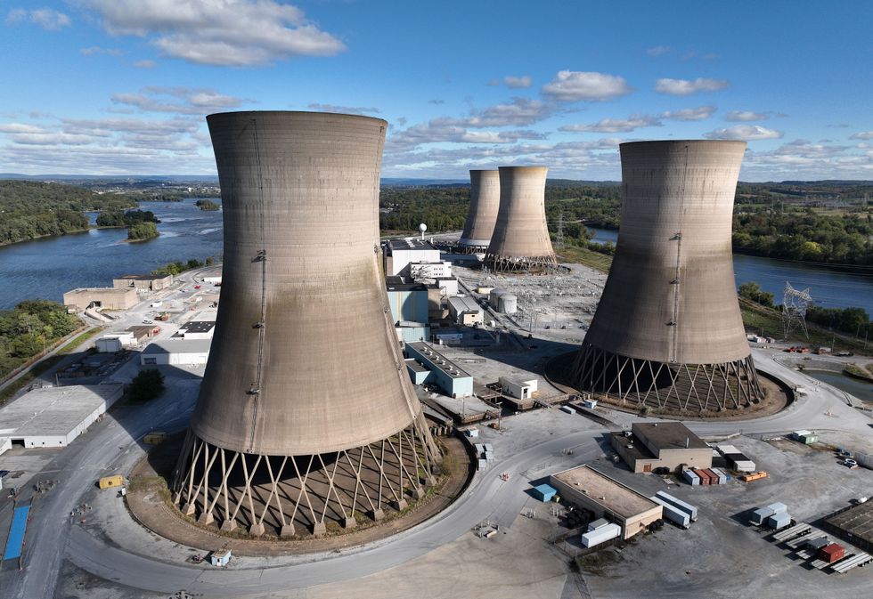 The shuttered Three Mile Island in October. Chip Somodevilla/Getty Images