Wildfires burn tens of millions of acres worldwide every year, and they’re only becoming more destructive.
For the past few decades, satellites operated by the likes of NASA and NOAA have assisted fire crews in detecting and tracking wildfires in even the most remote, difficult-to-monitor landscapes. But helpful as they are, these systems can’t provide real-time, actionable insights. They typically can’t spot fires until they’ve grown to several acres, for instance. They also only provide an image of the same spot every 12 hours at best, and by the time the data reaches the ground, hours — sometimes days — may have passed.
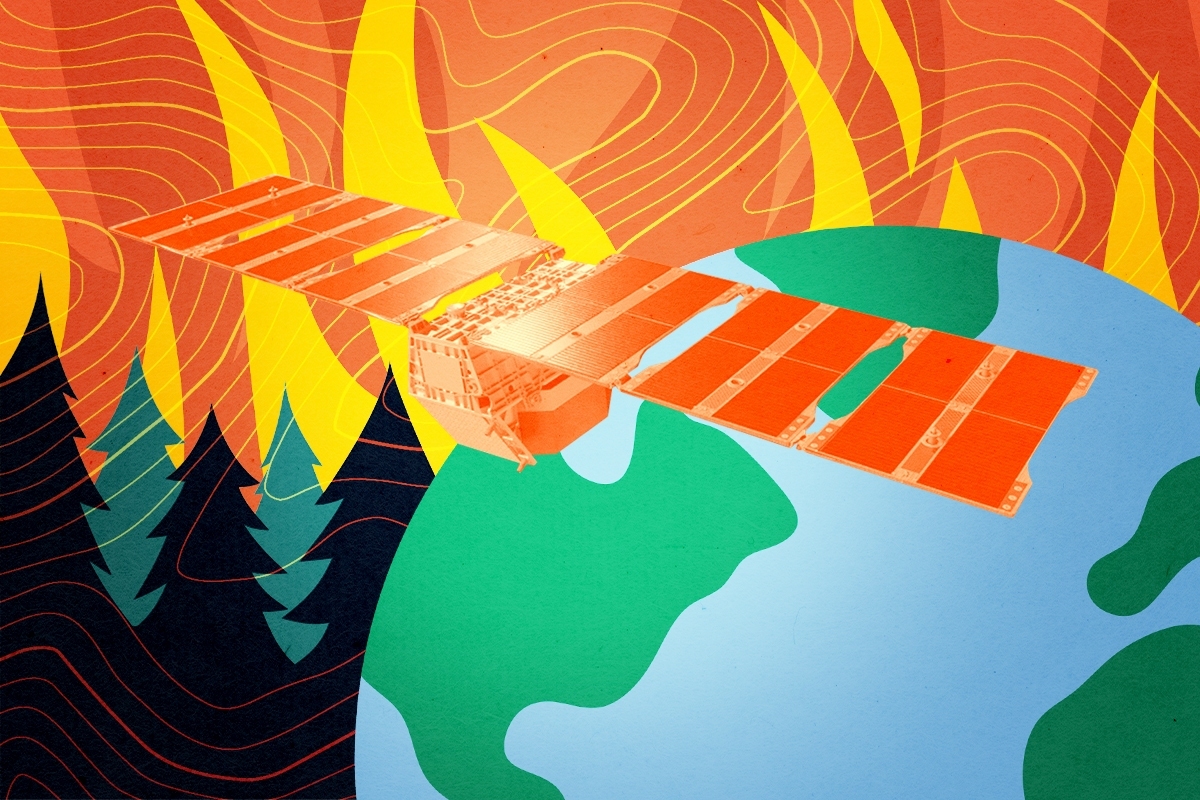
But the nonprofit Earth Fire Alliance says it’s built a far more capable alternative. In the wee hours of Tuesday morning, it launched three minifridge-sized satellites into orbit, the first components of a purpose-built wildfire detection constellation of more than 50 satellites planned to be fully operational by the 2030s. Designed to detect much smaller blazes than existing systems, the network will give first responders earlier warning and more time to contain fires before they spread. FireSat will also provide the broader scientific community with new data on how and why smaller burns grow into destructive wildfires, helping to improve models of fire behavior amidst a changing climate.
“We’ll be able to see fires as small as five by five meters — that’s the size of a shipping container — and be able to see fires at a lower temperature than a lot of the other satellite systems do,” Karen O’Connor, a founding principal at Earth Fire Alliance, told me. Once the full constellation is in orbit, the goal is to use the satellite’s thermal imaging capabilities to provide updates on fires every 20 minutes. “When you think about how that compares with current systems, they might see two to three acres. They might be over the same region maybe once or twice a day,” O’Connor explained.
The initiative has raised $69 million from a coalition of philanthropic backers, including a $26 million grant from the Bezos Earth Fund, over $15 million from Google.org, and support from the Gordon and Betty Moore Foundation, as well as other donors. The alliance’s technical partner, Silicon Valley startup Muon Space, designed and built the satellites. The company validated its tech last March when it launched a prototype satellite into orbit that detected a small fire in Oregon that existing systems missed.
O’Connor told me the team has interviewed hundreds of firefighters, fire agency officials, and fire scientists since the project kicked off six years ago, so that they could design the system to meet their needs. Those features include ultra-high-resolution sensors and an unusually wide field of view — over 930 miles across. Each satellite can quickly scan vast swaths of land, imaging the entire globe in about 12 hours. With more satellites will come greater imaging frequency: The alliance aims to capture an image of any point on Earth at least once an hour by 2029, reaching every 20 minutes by the early 2030s.
Hourly imaging “gets us within operational decision making timeframes,” O’Connor told me. Many fire agencies already receive intelligence updates from weather monitoring stations on this cadence, meaning at this point FireSat data can fit directly into their existing workflows to inform decisions about if, where, and when to deploy crews.
FireSat also provides a much clearer, more detailed view of active fires than standard Earth observation satellites, whose imagery generally lacks the resolution needed to manage fires in real time. Its specialized sensor captures six distinct bands of light — one visible, one near infrared, and four thermal infrared bands — each revealing different characteristics of the fire and its progression.
Visible light provides a baseline view of the landscape, while near infrared wavelengths reveal how vegetation responds to a fire — a stronger near-infrared signal indicates healthy vegetation. Short-wave infrared allows satellites to see through smoke during active fires and identify the areas burning with the most intensity. Mid-wave infrared is FireSat’s most unique and valuable channel for fire detection. Unlike most systems which use a single mid-wave band, FireSat uses two. One is attenuated — essentially tuned down — to allow the sensor to measure extremely hot fires without its gradations becoming saturated. The other is not, allowing the satellite to pick up smaller, lower-intensity blazes.
Long-wave infrared helps detect cooler parts of a fire as well as the temperature of the surrounding landscape, including smoldering areas, burn scars, and changes in ground temperature. This helps researchers better distinguish fire signatures and understand their impacts on smoke and air quality.
The three newly launched satellites will now undergo about three months of testing and calibration before they begin feeding data directly to FireSat’s early adopters, which include Cal Fire in California as well as fire agencies in Colorado, Oregon, Texas, Africa, Australia and Portugal.
“We’ve started with the operational community because we think that they’re the ones that need to be using the data from the beginning,” O’Connor told me. But as FireSat’s data set grows and researchers build a more exact historical record of recent fires, the patterns that emerge should provide valuable scientific insights such as seasonal shifts in fire behavior, how fires spread across different environments, and their impacts on ecosystems, biodiversity, and emissions.
Fire modeling is already evolving quickly these days, as startups and research labs increasingly integrate AI into their wildfire simulation models and risk assessments. Examples include companies like Pano AI and Technosylva, as well as researchers at the USC Viterbi School of Engineering and the University of Buffalo. O’Connor told me she thinks FireSat’s data will help further improve these models. “By having a real-time, regularly updated fire path, they can actually go back in and train those tools again — like this is how the fire actually behaved — so that in the future those types of tools will be better for the operational decision makers.”
FireSat could also help reveal the true global scale of fire activity. Until recently, existing systems couldn’t reliably detect smaller conflagrations, so the historical record has mostly captured only the largest ones. A more complete picture of fire activity will improve carbon emissions accounting and inform better land management practices.
That said, it remains true that not every fire ought to be put out. Fire is a natural — and often essential — ecological cycle that helps landscapes like grasslands, chaparral, and forests stay healthy while clearing dead vegetation that would otherwise accumulate as fuel for more destructive wildfires. O’Connor expects FireSat to play a role here, as well, giving agencies a better way to monitor prescribed burns and naturally occurring fires alike to ensure they deliver their ecological benefits without getting out of hand.
Even so, there are limits to what better detection and more sophisticated modeling can achieve when it comes to reducing the toll of wildfires. As the deadly Los Angeles fires at the beginning of 2025 demonstrated, even blazes caught in their earliest stages can explode under a dangerous combination of high winds and drought — conditions that are becoming increasingly common with climate change. Furthermore, as people continue to build homes and infrastructure along the wildland-urban interface, there are limits to how much technology can protect developments in landscapes that are naturally adapted to burn.
Still, FireSat’s data stands to make a meaningful difference in our ability to respond to an increasingly fire-prone world, though those benefits won’t arrive overnight, of course. These first three satellites will offer an early glimpse of what FireSat can deliver at scale, with the real value of the constellation beginning to emerge by the end of the decade. “Four of the five biggest wildfire years were in the 2020s,” O’Connor told me. “We can’t afford to go any slower than that.”