Examples abound. Lowercarbon Capital participated in the quantum startup Oratomic’s gigantic $300 million Series A, announced earlier this month. Just a few months prior, Breakthrough Energy Ventures led quantum pioneer Sygaldry’s $139 million Series A, which also included participation from Singapore-based climate-focused investor Earth Venture Capital. And earlier this year, Planet First Partners led a $200 million later-stage round for quantum company Photonic Inc., now valued at over $2 billion.
They’re hardly the first VCs to argue that the worlds of quantum and climate are closer than they might initially appear. Prelude Ventures has backed Atom Computing since its 2018 seed round, all the way through its $100 million Series C last month, while Berlin-based VC World Fund has supported IQM Quantum Computers — which went public via SPAC about three weeks ago — since 2022. All say that quantum computers will be dramatically more energy efficient than today’s so-called “classical computers,” reducing costs and electricity usage across applications ranging from artificial intelligence workloads and transportation logistics to power grid optimization.
That advantage stems from the fundamental nature of the system’s architecture. The physics is extraordinarily complex, but the basic idea is that unlike a standard computer, which encodes information as zeros and ones, quantum computers rely on units called “qubits.” Rather than representing a single binary value, qubits can “be both a zero and a one, or any state in between at the same time,” Idalia Friedson, Sygaldry’s co-founder, told me.
That mind-bending proposition totally changes the way computers problem-solve. Rather than sequentially testing one possible solution after another, quantum computers can evaluate many possibilities simultaneously, hopefully allowing them to solve challenges such as molecular simulation, materials discovery, and drug design exponentially faster than is currently possible.
This tech won’t replace today’s computers, which experts told me will almost certainly remain more practical for everyday tasks such as browsing the internet, making spreadsheets, and word processing. Rather, the future of computing will likely be a hybrid in which classical computers handle the bulk of the work while quantum computers address specific, complex problems.
For its part, Sygaldry is building quantum-powered AI servers that can plug directly into existing data center infrastructure, combining quantum processors with classical chips in the same machine to expedite both model training and inference. The startup is also unique in its effort to combine multiple types of qubits — yes, there is more than one kind — within the same system, matching each qubit type to the problem it’s best suited to solve.
“You can create a qubit by using photons, which are actually like light particles, by trapping ions, by creating artificial atoms,” Friedson told me, explaining that each type has its pros and cons. “Some are fast, some are less expensive, some are more manufacturable or scalable. But by and large, no single type of qubit meets all of the characteristics needed for commercial high-performance computing.” Thus, Sygaldry is taking a mix-and-match approach, pairing different types of qubits with the AI workloads they’re best adapted to handle, ultimately aiming to extract more from our existing data center infrastructure and curb the AI boom’s runaway energy demands.
But as with all breakthroughs that promise faster, better, cheaper AI, the spectre of Jevon’s paradox looms large. This is the observation that as technologies become more efficient and cheaper, total resource consumption often rises rather than falls as lower costs spur demand.
When I asked BEV’s Christian Garcia, who led the firm’s investment in Sygaldry, about whether he worries that quantum companies could contribute to an uptick in overall AI energy demand, he told me it seemed a little outside his remit. “I almost feel like it’s a question for a philosopher to answer,” he said, explaining that he has no way of knowing what the advanced computing industry will look like decades down the line. Instead, he’s focused on the shorter-term problem companies like Sygaldry purport to solve: Grid bottlenecks are constraining AI growth.
“Even as algorithms get more efficient, and even as GPUs get more efficient, the demand for tokens is outstripping the ability to bring power online,” Garcia explained. “And so we view investing in new computing platforms as a way to solve power challenges in a lot of ways, and I think that’s bread and butter for us.”
Mark Cupta, the Prelude investor who has backed Atom Computing since 2018, expressed a similar sentiment. “Regardless of what [quantum computing] is used for, it will use less energy as a baseline,” he told me. “Could it discover great things? Yes. Could it also break things? Absolutely. We’ve gotten comfortable with that.” Climate-positive applications that particularly excite Cupta include designing novel compounds to better capture carbon dioxide out of the air or industrial smokestacks, discovering more efficient catalysts for the energy intensive Haber-Bosch process used to produce ammonia-based fertilizer, and perfecting the chemistry behind solid-state batteries, which could be safer, longer-lasting, and far more energy dense than standard lithium-ion cells.
But quantum computing could also break many of today’s standard encryption methods, which secure everything from online banking systems and medical records to cryptocurrencies. It could help oil and gas companies with exploration, extraction, and petrochemical processing, helping to make fossil fuel production more efficient and cost competitive with renewables. Or maybe its greatest commercial value lies in, say, helping hedge funds optimize their trading strategies and portfolios — not necessarily a climate-negative application, but a far cry from the breakthroughs many sustainability-focused investors are hoping for.
The technology’s ultimate climate impact will always depend, to some degree, on how and where it’s deployed. Yet when Cupta looks at Prelude’s portfolio of climate tech solutions, he mainly sees the ways that quantum could help them move faster and build superior products. “If you think that the things we’re inventing are going to be better for the world than what came previously, you want to supercharge those things,” he told me.
He’s betting Atom’s platform will prove to be “the most energy-efficient and lowest footprint” approach in the industry. The company builds its qubits from neutral atoms, which have an equal number of protons and electrons and thus no net electrical charge. This system traps them in mid-air using tightly focused laser beams, a setup that allows the atoms to be packed far more densely than many competing designs, which often use micron-scale wires. And because the laser traps are movable, the system can rearrange qubits on the fly to optimize for different tasks.
Neutral atom-based systems are a relative newcomer to the quantum computing landscape, but Cupta believes they have the potential to leapfrog the industry’s dominant architecture: superconducting qubits. Often described as artificial atoms, these qubits are tiny electrical circuits engineered to mimic the quantum behavior of atoms. They underpin the quantum efforts of tech giants like Google and IBM, as well as startups such as Rigetti Computing — founded by Sygaldry’s other co-founder, Chad Rigetti — and IQM Quantum Computers.
But when Cupta was first exploring the idea of a quantum investment, he said nearly everyone he spoke with admitted that if they were “starting from scratch” they wouldn’t choose to work with superconducting qubits. That suggested to him that this approach had become a legacy technology, while Atom Computers’ neutral atoms represented the future. Other investors now appear to be buying that thesis. Last month, the startup announced a $100 million Series C, and is also set to receive $100 million from the U.S. Department of Commerce as part of a $2 billion CHIPS Act investment in quantum computing and manufacturing. For its part, Oratomic — a Lowercarbon portfolio company — is also working to build a neutral atoms-based quantum computer.
Prelude has been wrong about quantum before, as have plenty of other investors. The firm also co-led the Series A and B rounds for the quantum software company Zapata Computing, which went public via SPAC in 2024. The stock quickly collapsed, and within seven months the company had run out of cash and ceased operations. It eventually restructured and reemerged as Zapata Quantum, though its shares are still only worth around $1 on the lightly traded OTCQB market.
There’s also always the possibility that a climate-focused startup could simply reinvent itself, pivoting toward a more promising market opportunity. Consider the case of Crusoe. The AI data center builder and operator now valued at over $10 billion initially pitched itself at the beginning of the decade as a climate tech startup, using natural gas that would have otherwise been flared off to power cryptocurrency mining, thereby reducing emissions. While always an unconventional thesis, sustainability-focused VCs like Lowercarbon, G2 Venture Partners, and MCJ Collective piled in. Since then, the company has greatly expanded its natural gas footprint as it’s pivoted aggressively toward building AI data centers.
All of which is to say, there’s simply no guarantee that a climate tech startup will stay true to its original mission, or that the energy savings and efficiency gains it promises will ultimately materialize. The possibility of a paradoxical outcome is just a part of investing in energy efficiency technologies.
Investors seem to have gotten comfortable with the discomfort. But the public may not have to wait too much longer to see the first signs of what a quantum-powered future could look like. Sygaldry is aiming to “have some meaningful technology by the end of the decade,” Friedson said. “Over the next couple years I expect quantum is going to start reaching these really valuable inflection points that continue to drive adoption.”


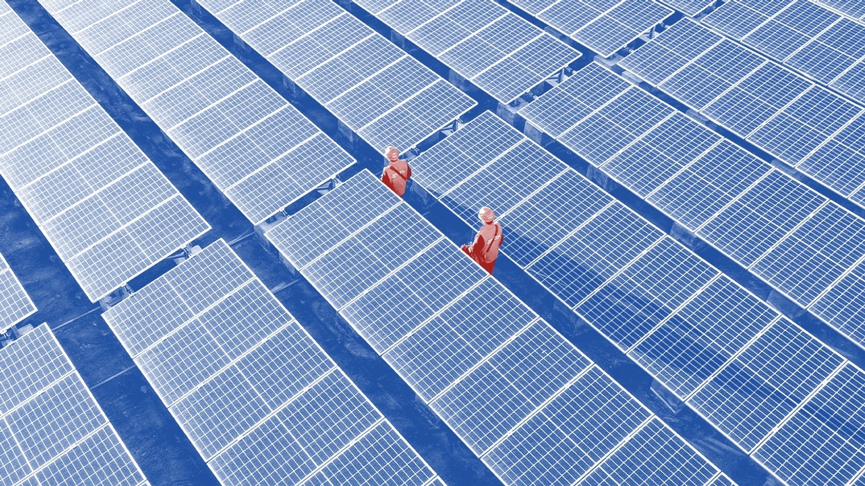
 Aerial view this month of solar panels in China’s Zhejiang Province. VCG/VCG via Getty Images
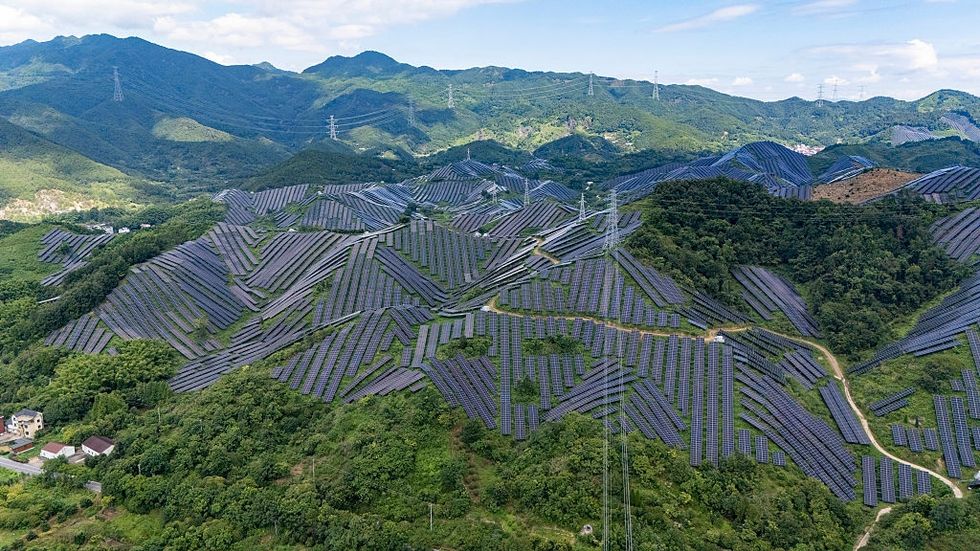