When Hurricane Helene began to take shape in the Gulf of Mexico, there was one factor that quickly made the storm stand out to meteorologists: its size. Helene is “unusually large,” the
National Hurricane Center said; “exceptionally large,” per the Washington Post. Upon landfall, it was one of largest hurricanes in modern history, according to hurricane expert Michael Lowry — bigger than Harvey, bigger than Katrina, surpassed only by 2017’s Hurricane Irma, which was one of the costliest tropical storms on record and resulted in dozens of deaths.
Bigger does not always correlate to stronger. Discussions around the strength of a hurricane typically center on its wind speeds (which is what the categories connote) and the volume of rain it is expected to unleash. But in Helene’s case, there was both size and power — when the storm made
landfall in Florida’s Big Bend region late Thursday night, it was classified as a Category 4 storm, with sustained winds of 140 miles per hour.
Florida Governor Ron DeSantis
declared a state of emergency in 61 of the state’s 67 counties ahead of the storm, speaking to the breadth of damage he expects to see and the long recovery process to come. Already, images of flooded streets are circulating on social media, multiple deaths have been reported, and millions are without electricity. As Helene continues its course, it’s bringing tropical storm conditions to Alabama, Georgia, the Carolinas, and Tennessee.
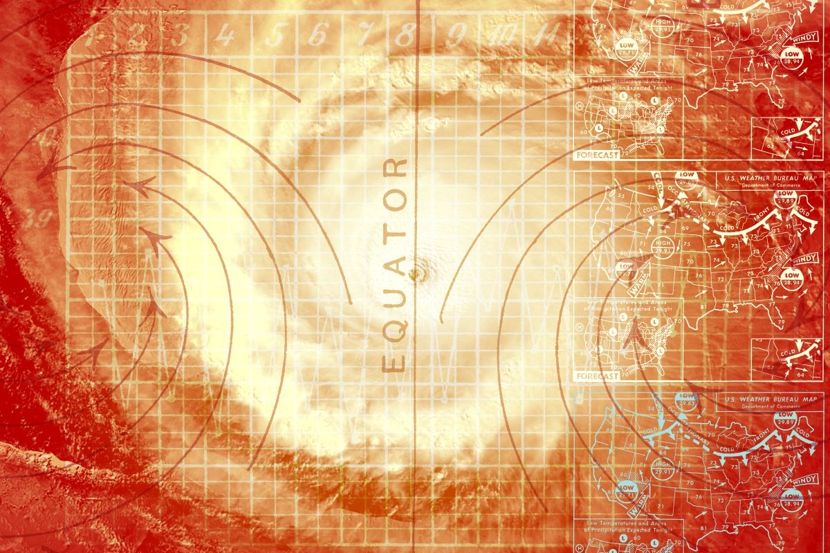
In the hours and days to come, we’ll get a better understanding of how well forecasters did predicting the path and strength of this storm, a task that has become increasingly difficult. Because at the same time technology has improved oversight of these storms, with artificial intelligence models that have raised the bar for prediction accuracy and the ability to deploy radar systems as they pass overhead, climate change is altering the ingredients that feed their formation. For example, record-high temperatures in oceans have changed the behavior of storms as they form, Matt Lanza, who monitors Atlantic storm activity for
The Eyewall, explained to me, resulting in more storms intensifying rapidly ahead of landfall. This has made storms like 2023’s Hurricane Idalia tougher to predict, despite being closely tracked.
Helene, too,
rapidly intensified on its way to reaching land. The area of Florida where it hit, a little over 50 miles from the state capital in Tallahassee, is no stranger to storms— in just the past 13 months, Florida’s Big Bend has had to absorb the impacts of both Idalia and Hurricane Debby, each of which caused billions of dollars in damages. Still, Truchelut said Hurricane Helene could be a “truly unprecedented scenario for North Florida.” Part of the unusual force behind this storm can be attributed to another unprecedented scenario — the warmth of the water in the Gulf of Mexico. CBS News said the water surface temperature below the storm’s formation was up to 89 degrees Fahrenheit, which is as much as 4 degrees above average. This follows the overall Gulf warming trend observed by NOAA, which the agency says “increases the intensity of hurricanes.”
Another factor that allowed Helene to grow so huge so fast was the lack of
wind shear, a term meteorologists use to refer to the way wind changes speed or direction or both across different elevations. Strong upper-level winds can inhibit storms from forming or growing. In Helene’s case, however, warm water was accompanied by low wind shear and plenty of moisture— conditions that aligned to provide tremendous energy for the storm’s formation. The only thing really standing in Helene’s way was its own size, Lanza noted, which would have made it more difficult for the storm to get organized and strengthen further.
The most obvious reason size matters is the footprint the storm will have on land. To give you an idea of just how large Helene is, Lowry said in his
newsletter Friday that the full breadth of its winds upon landfall stretched over 450 miles across, nearly half the entire width of the Gulf of Mexico. This means the effects of the storm began long before it officially made landfall and will continue long after the eye of the storm has moved on.
Hours before Helene officially reached Florida, rain was already drenching communities in the storm’s projected path. Meanwhile, “Severe and life-threatening impacts from Helene will occur hundreds of miles from the cone confines, especially on the eastern half of the storm,” Florida meteorologist Ryan Truchelut wrote in the
Tallahassee Democrat, summing up just how far-reaching Helene’s effects could be. The National Oceanic and Atmospheric Administration issued a self-described “rare news release” on Wednesday to warn of the potential for major flooding as far inland as Appalachia, some 300 miles from the Gulf Coast.
Another serious size-related consideration relates to the potential
storm surge, or how far above average tides the water will rise. “When you have a storm this big, you’re just inherently moving a lot of water over a broader area,” Lanza said. As Hurricane Helene’s eye approached Florida, water levels easily surpassed multiple storm surge records. But what stood out to Lanza was not just that the surge was powerful, it was also that the threat of surge was so widespread. “A much smaller storm, you can still have a very large storm surge, but it’s going to be very isolated near to where it comes ashore,” he told me. “With a storm like Helene, because of its size, near and east of where it comes ashore, you’re going to have a massive storm surge — and you’re going to have a pretty big storm surge even down the coast from that.” The NHC warned that much of Florida’s Western coastline would see multiple feet of water.
Messaging the risks of these storms to an extreme weather-weary public is another challenge stemming from climate change. “Record breaking” has now become a familiar phrase for most of us, describing everything from extreme temperatures to rainfall rates. But as tropical storms become more intense, fueled by warming-influenced weather conditions, finding ways to accurately convey threats to the public is increasingly essential.
Ahead of Helene’s landfall, the NHC stressed that the storm surge would be “unsurvivable,” encouraging residents to heed evacuation orders. According to
The New York Times, the warnings — paired with memories of those other recent storms — seemed to have worked, leaving Big Bend-area towns “eerily empty.” Even the local Waffle House, a business widely recognized for making its own assessments of hurricane risk, was shuttered on Thursday.
The NHC is experimenting with new graphics in hopes of better conveying risks outside of the classic “cone of uncertainty,” which illustrates the predicted path of a tropical storm’s eye. The center shared an image on social media showing inland risks from storms, not just those along the coast.
So if you noticed the NHC’s risk map for Hurricane Helene colored the entire state in a palette of watches and warnings, the reason why is twofold: Yes, the risks really are that widespread with this storm, but the agency is also trying to get better at telling you about them. And in the case of major hurricane like Helene, the more warning, the better.


 Feel the Burnham. Carl Court/Getty Images


