Two things are true:
1. Levees are critical flood-control infrastructure.
2. We don’t really know what shape they’re in.
A glance at the website for the National Levee Database — which was developed by the U.S. Army Corps of Engineers as part of the National Levee Safety Program in the wake of Hurricane Katrina and does what it says on the can — shows nearly 25,000 miles of levees across all 50 states, the District of Columbia, Puerto Rico, and Guam, hemming waterways on the edges of communities that 17 million Americans call home. Look a little further out and you’ll find that almost two-thirds of all Americans live in counties with levees in them, even if their homes aren’t directly protected by those levees.
But the database is full of gaps. Despite the ubiquity of levees, there’s still much we don’t know about them, starting with where they all are. According to the American Society of Civil Engineers’ 2021 Infrastructure Report Card (which, incidentally, gives America’s levees a D grade), the conditions of more than half of the levees in the database are unknown, while there are an additional 10,000 miles or so of levees that simply aren’t in the database at all — though most of them have very few, if any, people living behind them.
That latter number is up for debate, too: The 2017 Infrastructure Report Card estimated there are about 100,000 total miles of levees in the country, a number backed up by a 2022 study that used machine learning to map about 113,000 miles of potential levees, which would suggest the database is only about a quarter complete. That's a huge disparity, to put it mildly. The data gap could be something more like a breach.
“You have to know what you have in your pocket,” said Farshid Vahedifard, a professor of civil engineering at Mississippi State University who studies levees. “The first step to risk governance is awareness.”
In an email to Heatmap, a spokesperson for the U.S. Army Corps of Engineers confirmed the number of levees in the National Levee Database, saying, “We think that these are the majority of functioning levees across the country with some gaps. We will continue to add to the National Levee Database as levees are built or stakeholders provide any new information.”
For many Americans, levees are the margins between the built and natural worlds. They’re the first line of defense against flooding, directing water away from communities and containing rivers and lakes when they threaten to spill over their banks. Many of them were originally built decades ago by farmers or landowners looking to protect their land, Vahedifard said, and went on to become the de facto flood control measures of the communities that happened to spring up behind them.
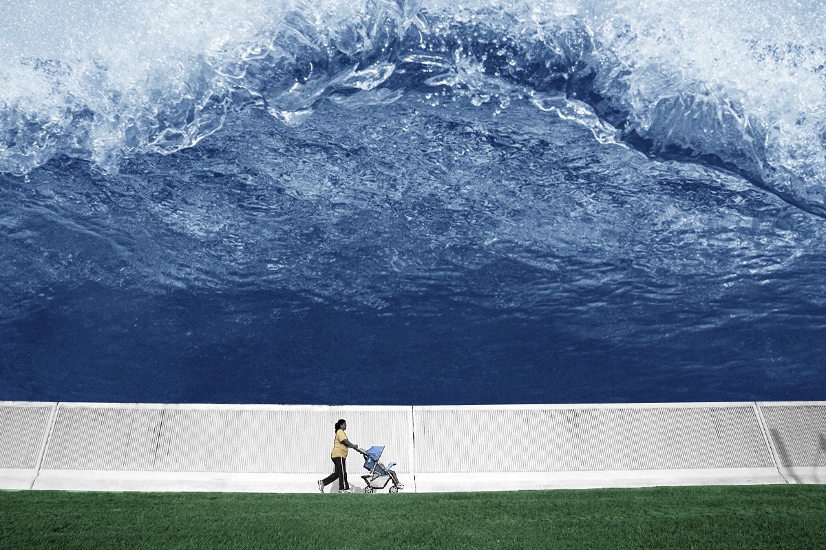
Climate change is going to affect levees in numerous ways. There is, to begin with, the obvious problem of more frequent and severe storms, which could lead to more chances of floods overtopping or even breaking through levees, as happened in Pajaro, California in March, leaving the majority of the town underwater.
But climate change can also undermine the infrastructure itself. Just 3% of the levees in the country are engineered floodwalls made of concrete, rock, or steel; the vast majority — 97%, according to the infrastructure report card — are earthen embankments, or what regular folks might call giant mounds of soil. Prolonged droughts can weaken the soil in those embankments, leaving them brittle and unable to stand up to intense flooding. Droughts also lead to more demand for groundwater, and removing that groundwater causes the earth under levees to subside, weakening their foundations and making them more vulnerable to breaches.
In an ideal world, every levee in the country would be upgraded and maintained according to rigorous engineering standards. But that takes time and immense amounts of money — the Army Corps of Engineers would need $21 billion to fix the high-risk levees in its portfolio alone, and those make up just 15 percent of the known levees in the country; the vast majority of the levees in the country are maintained by local governments and water management districts. That means making the levee database complete is even more crucial.
“Once we know the status, we can use some sort of a screening process to identify more vulnerable locations, like the hotspots,” Vahedifard said. “Then we can allocate existing resources and prioritize those areas.”
The National Levee Database and the National Levee Safety Program were created as part of the National Levee Safety Act, which Congress first authorized in 2007. But they have been consistently underfunded: According to the American Society of Civil Engineers (ASCE), appropriators provided just $5 million of the $79 million per year that the National Levee Safety Program is authorized to receive. Fully funding the program would at least help close the data gap.
Education is also crucial. Many people who live behind levees don’t know about the potential risk to their communities, said Vahedifard, and educating them on how their lives can be affected by the boundaries of the waterways near them is just as important a resiliency tool as physically shoring up the levees themselves.
“No levee is flood-proof,” declares the second page of So, You Live Behind a Levee!, a jauntily-named handbook for residents created by the ASCE, Army Corps of Engineers, and a conglomeration of partners. “Flooding will happen. Actions taken now will save lives and property.”


 A transformer factory in Jiangsu Province, China. Costfoto/NurPhoto via Getty Images


